Hiking the Ceran St. Vrain Trail, Jamestown
CO (2011)
![]()
Ann decides that one of our first
hikes this season should be a relatively short, flat trail that she and I have
not hiked before. The Ceran St Vrain
Trail Head is just outside of Jamestown, CO. She has often heard good things
about the trail in the past. So we depart on a Thursday morning, on one of the
first warm days of the year in Boulder: June 2nd!!
Not only is this trail relatively
flat heading out from the trail head, most of the elevation change going out is
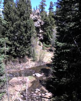
downhill. And nearly the entire trail follows the scenic South St Vrain Creek, where early on one finds pleasant-looking
primitive campsites set in a quiet, peaceful upper-montane
pine forest.
The creek origin is Isabelle Glacier at the top of the
Continental Divide a little over 10 miles away and 3,700 higher in elevation.
The trail is named for Ceran St. Vrain
(1802 - 1870), a fur trader, politician and settler who established several
trading posts and military forts along this creek and the South Platte River.
The trail terminates at an old
jeep trail approximately 2 miles from the trail head. Because there was little
physical exertion going out, and I had not seen any of the famous, jaw-dropping
Colorado snow-capped mountain views up to the jeep trail, Ann and I agree that
I will leave her behind as I ascend what appears to be a long incline on the
trail to where I hope will be an open view of snow-capped Rocky Mountains on
the horizon.
I hike for just over the time that
Ann and I had mutually agreed I’d spend looking for a mountain view. Just as I
am about to turn back in disappointment, I see blue sky in the trees ahead of
me. “AHA!! A possible ridgeline with a view!” I hurry
my pace towards the blue in front of me. I arrive at an intersection of jeep
trails, where I catch a glimpse of the sought-after peaks through the pine
trees. Finding an opening in the trees, I snap a few photos.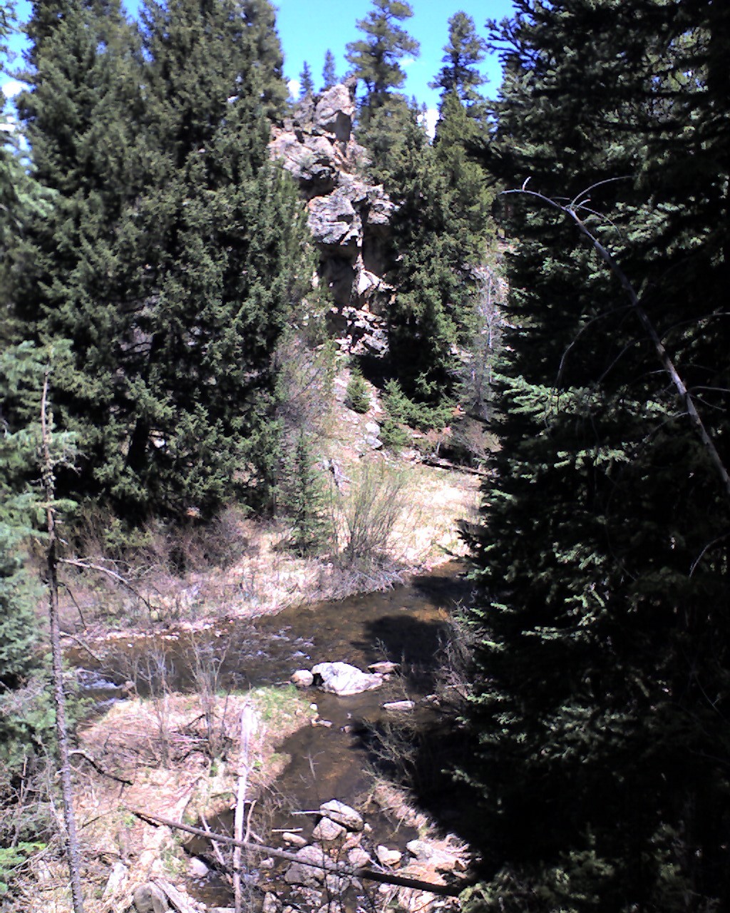
I return to the trail
intersection. To my horror, the intersection is NOT simple as I had earlier thought.
It is an intersection of what appears to be 6 or 7 dirt roads going in
haphazard directions.
DAMN!
Which road is it that I came in
on???
Forests are notorious for not
having obvious and unique landmarks. In addition, my short-term memory is
mediocre at best. All I remember is I had hiked uphill going out, which means I
need to do a lot of downhill going back. I hike one road for a few minutes. Too much uphill. I hike another road back at the
intersection, and I see landmarks I KNOW I didn’t see coming out.
DAMN!
Now I’m worried. Ann, by now,
expects me back at the agreed time, which was 10 minutes ago. There are no
other hikers likely to hike this far out on the jeep roads in the Rockies, so
it is hopeless for me to find a hiker and ask for directions. I have no idea
which direction takes me out of the forest and back to civilization, so it
doesn’t matter that I am without a compass. Ann has the Cliff bars we brought.
All I’ve got is water. It is beginning to look like I’ll be eating grubs in the
forest tonight.
DAMN!
I transition from hiking to
trotting. I’m starting to worry and sweat. Good thing I just updated my will…
I choose a third jeep road, but
I’m not optimistic. ALL trails look different when you go in the opposite
direction of the direction you used going out.
But wait. The trail is going
downhill. I breath more easily. I’ve somehow found
myself on what MUST be the right trail. I call out to Ann as loud as I can for
six or seven times. No response. I go over a hill. I try again. She responds.
 What a
relief.
What a
relief.
As we had promised ourselves on
the hike out, we return to an attractive creek swimming hole, with a big rock
nearby to sun on. We strip off sweaty clothes—being careful that no one is on
the trail observing us—and hope there are no Forest Service rules against
nudity.
Unlike last year, I am the first
to immerse myself in the frigid snow melt water. I tell Ann that after what I
just went through, ice water is not going to phase me.
At the end of the day, I am able to call this an adventure. An adventure, in my opinion, must be at least potentially deadly. And it must be an experience where one can become lost. Both of these criteria were met.
The elevation gain to the
turn-around point is -260 feet. Roundtrip distance is 3.8 miles.
Back to Dom's Voyages and Adventures page.